Historical Maps of Addiscombe
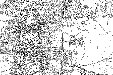
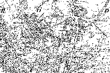
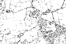
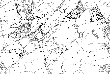
Historical Addiscombe from around 1870-1885 is almost unrecognisable compared with the present day Addiscombe.
The Ordnance Survey has four local maps of this era. Many of the main roads existed then, but Addiscombe was little more than a public house, set in farm land and brickworks excavated fields.
Click on a map to view it in more detail. Old Maps NE Old Maps NW Old Maps SE Old Maps SW 


© Crown Copyright 2002
http://www.ordnancesurvey.co.uk/getamap
Image produced from Ordnance Survey's Get-a-map service.
Image reproduced with permission of Ordnance Survey and
Ordnance Survey of Northern Ireland.
